AIS is an Automatic Identification System used in the marine environment, similar to the transponder system used in aviation. We Loopers share the waterways with many other boaters, some are pleasure boaters, but along the major rivers, we share these waterways with commercial traffic. This commercial traffic can be barges coupled with tugboats that can be over 1000 feet long.
Since leaving Beaufort, South Carolina, we only had to deal with commercial traffic consisting of a few container ships in the upper Chesapeake Bay, and ferries and high-speed water taxis on the Hudson River near Manhattan. We knew that heading south from Chicago we would be on some of the most commercially trafficked waterways in the country. The safest way to travel would be to know where this commercial traffic is and how to safely pass them – and for them to see us approaching. Ed installed AIS on the boat while we were in Hammond, IN, waiting for the locks to reopen.
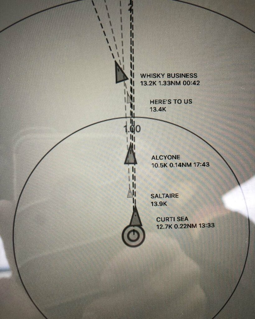
On Vitamin Sea, we view the AIS transceiver information on two iPads. On one iPad, we have the AIS output show on a screen as boat name, position, and movement information such as course, speed, and heading. It’s presented in a “target” type screen which can be adjusted to look from 1 miles to 28 miles away from us. Tapping on the icon for the boat will give us even more information. This program will warn us by both color and audible alarm if another boat will be coming close to our intended path.

On this screen, you can see the other boats we were traveling with which also had AIS.
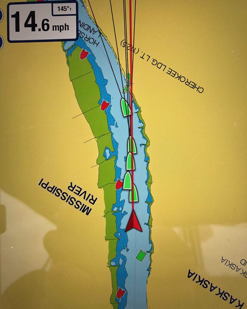
A second iPad, using the Navionics app, shows our navigation track with a ghost image (in green) of boats with AIS. On the picture below, we all seem to be riding on top of one another, but that didn’t happen. The AIS transponder sends out a signal about every 10 seconds, so the boats are sending out signals at different times. It appears we are on top of each other because the signals haven’t caught up to real time.

AIS as a layer on our navigation program.
A group of up to thirty barges and the boat that pushes them is referred to as a “tow.” The tow, weighing thousands of tons, cannot stop or alter direction easily. They are usually traveling at 4-6 mph, which is why we want to pass. We’re typically traveling at 10-12 mph. To overtake or pass a tow we call them by name, requesting information on which side and where to pass them. We follow their directions to safely pass, sometimes being asked to wait for a better place or a straighter part of the river in order to safely pass.
While we were traveling with the Two-pers, usually the lead boat would contact a tow and inform them about our position and how many boats were approaching. On October 18, we made OUR first call to a tow captain – the tow boat was the Bernard G. We were a little nervous – tow captains seem to have their own lingo and their accents (Southern?) are sometimes difficult to understand over the radio. All went well – they really are SO helpful. They don’t want any accidents either, so they want the other boats to move by them as safely as possible. We have made an unofficial observation – we think they prefer to talk with “lady captains” more than just another “feller!”
